hawaii "picture" diary: maui

"the valley isle"


kapu kountry

my immediate first stop upon arriving in maui and picking up the rental car was costco, conveniently located right next to the airport. i purchased provisions for the next three days of camping, which consisted of exactly three things: water, food, and alcohol. i had been explicitly warned several times online and through insistent emails that one of the campsites had no potable water, which is why i ended up picking up what would turn out to be far too much bottled water (more on that later). for food, i opted for something macadamia-related, since they are the signature nut of hawaii, though they are in fact native to australia (this will be a common theme). i was appalled when i discovered the price of even modest macadamia packages (minimum $20), later i found out that many sources claim they're the world's most expensive nut. but, at least you get some bang for your buck, since apparently one cup of macadamia nuts has EIGHT HUNDRED calories. they would end up becoming a staple food for me, along with one (1) hawaiian plate lunch per day. finally, for alcohol i looked at wine as usual, however at the last minute decided "when in rome" and picked up a big bottle of pre-mixed mai tais made with local rum. then, i grabbed my inaugural one (1) hawaiian plate lunch ration of the day at a local place in kahului, and headed up the tallest mountain on the island for my first night of camping.

it's hard to tell just how tall haleakalā (the massive volcano that makes up most of maui) is from the bottom, since it's almost perpetually shrouded by clouds. even when they've been blown away, the volcano is so wide that it's hard to get a good appreciation of it. you get a better idea when you actually start driving up it. the first thirty minutes are a steady but gentle climb through the foothills at the base, where you drive through some charming small towns and farmsteads. then, you follow a big sign pointing towards the national park, and this is where the REAL climb begins: a series of seemingly never-ending switchbacks and hairpin curves dizzingly winding their way up the slope. if you look at the road on a map, it just looks like a squiggly line. somewhere i saw it claimed that the road up haleakala gains some of the most elevation in the least distance of any road in the world.

part of the reason the switchbacks feel like they're never going to end is because the whole section is at cloud level, obscuring the road ahead. the clouds and the grassy landscape in this portion give it an eerie feel, like english moors. the pictures don't really do it justice and make it appear like a static, lethargic fog that's settled upon the landscape, but in fact these are CLOUDS, flowing down the mountainside like rushing water due to the strong winds on the slopes, always moving. it's a powerful, yet ethereal energy. it's easy to see why this was a sacred place for the ancient hawaiians, to whom the upper slopes were kapu land, entry limited only to high-ranking priests and nobles for important spiritual excursions. the penalty for entry for anyone else was death.

hosmer grove campground is just inside the boundary of the national park, a field and a parking lot at the edge of the grove. the grove is a small forest of non-native trees, planted as an experiment by a guy named hosmer before people were aware that that's generally a Bad Idea. many species died but some did well, too well, and now they're invasive and hunted down with extreme prejudice by park rangers wielding flamethrowers (i imagine). there is a short nature walk through the grove where you can enjoy the very best of eucalyptus trees from australia and various pines from california. you drive an hour up a mountain into a national park to escape the meticulously landscaped fake resort areas, only to find yourself in pretty much the same thing, just a hundred years older.

i pitched my tent right by this reassuring bright orange sign. the system of kapu lives on in a way, it seems. there were six campsites spread out through the field, and mine was the one in the far corner. i was the first to arrive but didn't face any competition for field real estate because every single other person staying at the campground was using a campervan. i had seen them for rent on airbnb for $80/day, but i had rejected them, scoffing "i'm a REAL camper using a TENT, not like those FILTHY CASUALS". it turns out they probably had the right idea because hosmer grove was UNBELIEVABLY wet, the wettest place i've ever been. the campground is still well within cloud level, so it is basically like living inside of a cloud. you'll notice that in fantasy stories, characters usually live on TOP of clouds and not IN them, and there's a very good reason for that.

but in real life, it is only possible to live inside a cloud, so here's a sketch of what it's like. generally it's always very moist, but not in a humidity way in which water blends with the air, weighing it down. instead, inside a cloud the water remains a discrete object, a light omnipresent mist in the air that collects on every surface in touches. every so often, it'll get dense enough to coalesce into raindrops, too heavy now to float and thus falling as actual rain. while camping, you expect everything to be covered by a soft morning dew by 8 am in the morning, but instead at hosmer grove everything already had a hefty layer of dew on it by 8 pm. part of the function of a tent is to protect you from such moisture, but alarmingly i noticed that there were concerning amounts of dew also clinging to the INSIDE of the tent, which i have never seen before. i sacrificed a sock and wiped some of it down, and the sock came back completely soaked. i spent much of the night stressing about water dripping from the tent ceiling and avoiding touching the confining tent walls because anything that did would inevitably come away wet, and it could possibly trigger a waterfall. fortunately, the water collecting on the inside of the tent mostly flowed down the sides and collected in small pools on the floor, so my worst fears of an unintentional private tent shower went unfulfilled.

THE LOADOUT:

by the way, here's the car i rented. the maui sixt rental office was disarmingly stylish, walls and counters bedecked in curvaceous plastic ornamentation dyed their trademark deep orange. it felt like futuristic design from older scifi movies before filmmakers collectively decided that the future was going to go down the lame and minimal apple route instead of maximalist, noisy and (in fashionable spaces like car rental agencies), gaudy and decadent. properly, they should have been renting me something exciting like a hovercar, however due to blatant ageism they refused to even do so much as rent me a convertible (which would have only been $5 a day extra, though in retrospect i would've only been able to keep the canopy down for maybe 10 minutes the entire trip) or even an actual suv. instead, the best they could do was one of those fake car models that they make exclusively for rental car agencies to rip people off with, a "nissan kicks", what i imagine the bastard child of an suv and a compact car would look like.

the house of the sun

"haleakalā" in hawaiian means "the house of the sun", and early each morning about a hundred people drive up to see it come out for the day. staying in most places on the island, this usually means getting up at 4 am minimum, but luckily i could get up a lot later since i was already well over halfway up the mountain (though it still takes 30 minutes to reach the summit from hosmer grove). i probably would have even gotten a nice 8 hour's sleep despite the "circumstances" (practically being underwater) as i was jetlagged in a favorable direction, making 5 am maui time 8 am my time. but, one group of car campers kept accidentally setting off their car alarm, every single time RIGHT when i was about to fall asleep. they made up for my lack of sleep somewhat by giving me a free can of monster energy in the morning as an apology.

had more hawaiians been able to make it up back in the day, they may have opted to name it the "house of the clouds" instead. even the interior of the crater was perpetually shrouded in clouds, as if they were being formed within it by volcanic gases. the winds near the summit were quite strong, though, and occasionally blew enough of them away for a decent view, as in this picture. but those same winds, combined with the early morning high altitude chill, made the lookout quite frigid before the sun came up. the car thermometer read 5 degrees celsius (vs. ~30 around maui sea level) though i'm sure the wind chill easily brought it below freezing. fortunately i had the rare foresight to pack a coat, which throughout the trip was only used for a handful of hours that one morning.

i have spoken a bit of how haleakalā was a sacred place in the ancient hawaiian religion, but its energy is so strong that it also manages to be a sacred place in our profane modern secular religion. as i've said, with the sacrifice of hours of sleep scores of pilgrims daily make the ascent to view the sunrise. but there is also a place near the summit, the holy of holies, where they are forbidden to tread, a place that is still kapu, entry allowed only to the elect, the priests. i am speaking, of course, of the shining white domes of the mountaintop temples of Science, in which the Scientists (of a particular order known as "Astronomers") perform their arcane rituals. apparently haleakalā is the fourth-best location for astronomy in the world (the neighboring big island has two of the others).

why didn't i take a picture of the actual sunrise? because everyone else was.

fade in abyss

there's a trail that leads from the summit visitor's center down into the crater. i'm one of those types that exhausitively reads every dumb info sign the national park service puts in front of visitors, so i'm well aware that haleakalā crater is not, in fact, a real crater or caldera. "well, ACKSHUALLY, it's not a TRUE crater because it was formed primarily through erosion and NOT due to volcanic activity" read at least four of the "interpretive" signs i saw. none of the signs, however, proffered a more geologically-accurate term for a large roundish depression near the summit of a volcano caused by erosion and NOT volcanic activity, so i am going to continue to call it a crater like everyone else.

i don't know if this is just an early morning thing (i went down only a little after sunrise, around 7am), but the whole crater was stuffed with clouds. this gave the hike a strong "descent into the mysterious abyss" vibe, since at times you could barely see more than a couple dozen feet ahead. the effect is only heightened by the desolate volcanic crater landscape, consisting mostly of dark rocks and sand. it is a little like being on the moon, i imagine. very fertile for the imagination, though not so much for plants. i had a lot of fun taking pictures of other hikers ahead of me fading into the mist.

there is actually surprising variety to the volcanic landscape. part of it is thanks to the limited sightlines: rounding each ridge gives way to a new vista, and the clouds constantly shift, revealing new landscapes in the distance before concealing them once more. as you descend deeper, the rocks and the sand changes color from black and dark gray to various shades of deep red, from lunar to martian. rocks start giving way to a few hardy plants, eking out a modest living on cloud residue and scraps of barely-fertile soil.

the maui white land urchin haleakalā silversword is one of the few plants able to grow in the barren volcanic dirt in and around the crater. the silver color forms a striking contrast with the dark red or black ground around it, and it's eminently satisfying to gaze at because it's round and each blade fills the spherical space perfectly, equally distant from its neighbors. it grows nowhere else on earth and blooms only once at the end of its 50-year lifespan, sending out an enormous shoot of flowers like a firework from its center several times higher than its normal size before dying. it's like a plant from mythology or some sort of prophecy, a haleakalā silversword flower is almost certainly a highly potent alchemical ingredient.

i could have kept descending into the crater all day since hiking downhill was easy and there was always an interesting new landscape to rest my eyes on, but unfortunately i had places to be so i had to turn back before making it to the sights at the crater floor like the bottomless pit, which is 65 ft deep. the second i turned around and started the strenuous hike uphill, i immediately regretted every additional step downwards i had taken earlier.

the narrow road to hana

hana is one of the most remote towns in maui, located at the far eastern edge of the island. it's most well-known as the terminus of the infamous "road to hana", another tourist pilgrammage about as popular as the haleakalā sunrise. i'd heard whispers about it and always thought it was just some exaggerated boomer meme, turning a slighty curvy road into a treacherous expedition while describing it over a round of golf or brunch mimosas, or wherever boomers socialize. NOPE, if anything it was more treacherous than the stories, a narrow, outrageously-curvy road through lush jungle. honestly, though, it wouldn't even be all that bad if it wasn't also extremely congested at most times, with hordes of lollygagging tourists and the occasional local attempting to drive through at the speed of light.

i didn't really see why maui was nicknamed "the valley isle" until driving the road to hana, which is so long and curvy because you have to drive in and then out of what feels like every tiny coastal valley on the island. there's a certain rhythm to it: you round the ridge into the next valley, drive along the slope in, cross a single-lane bridge over a stream coming from a waterfall, make your along the slope out, round the ridge, repeat. there is not a single two-lane bridge on the road, all 50 or so are one-lane. i quipped to myself "maybe they didn't have the technology back then to build so big", and then saw "AD 1921" carved into one of the bridges. later, i read somewhere that all except one of the bridges are original, built in the 1920s and probably designed for people driving tiny model t's.

due to having to yield to opposing traffic at every one-lane section and the constant sharp curves, it's difficult to ever go faster than around 15mph on any section of the road to hana. this is why it takes an extraordinarily long time to drive from kahului to hana, a distance of only 50 miles. i remember two hours in, i thought "SURELY i must be getting close" after approaching a promising cluster of buildings, and then passed a sign on one of them that said "The Halfway to Hana Cafe". in the end, it took me about 4 hours to make it to hana from kahului. in comparison, it takes 5 hrs to get from seattle to kahului (by plane), a distance of about 2600 miles. then you arrive, and there's not really that much to do in hana. it barely feels like a town in most parts, just a bunch of scattered rural homesteads in the jungle along the main road, which i believe is called a "dispersed settlement". it's not a whole lot different to driving through rural areas in the mainland, with everyone having yards filled with random junk, mostly old cards. there are also political signs of course, but rather than trump, the political cause celebre in rural maui is the restoration of the hawaiian kingdom (in some ways arguably an even more conservative position than supporting trump). they also give texans a run for their money when it comes to flying their state flag. occasionally, you drive by some place with a high walls and a fancy gate that's either a rich guy's vacation house, some kind of pricy eco-buddhist vegan meditation retreat, or a cult compound. anyways, i think "the road to hana" is one of those situations where the journey is the destination. at left is a picture of just one of maybe 20 impressive roadside waterfalls you pass by on the way, enough to even give a noted enthusiast like me waterfall fatigue.

the "seven sacred pools"

if you're crazy enough to keep driving another 10 miles past hana, eventually you'll stumble upon the coastal section of haleakalā national park , the "kipahulu unit". the road isn't too twisty but for some reason the paving gets much worse and has a kind of "pile of roughly-grated cheese" texture to it. right before the park, the road starts to reprise the curving in and out of valleys, before finishing off with a grand finale right before you enter the park: a blind curve that has a road sign i've never seen before instructing you to "blow horn". i guess the idea is that you honk to let people on the other side know you're coming. i'm usually a very shy honker but i let one off in the interest of safety, even though in retrospect the curve didn't seem that much narrower or sharper than many of the others i'd already been though without honking. the haleakalā national park kipahulu unit isn't very big, centered around a single gulch that drains water from the mountains way up above. there's a single parking lot, a visitor's center building, one short trail to the coast and a couple waterfalls, and one longer trail up the gulch to some very tall waterfalls. the campground, at the very least, is quite expansive compared to hosmer grove, a large grassy field right on the coast with 15 or so sites arranged around a gravel loop. by the parking lot, i spotted this rusty old payphone, labelled "In case of Emergency, your Location is... Kipahulu Visitor Center Mile Marker 42". curious, i lifted the receiver to see if it still worked, and a lizard crawled out of it. it did not still work.

the gulch contains a stream with several successive waterfalls/pools, which a local hotelier branded as the "seven sacred pools" a couple decades ago to market it to tourists. apparently back in the days of yore you could stroll down officially-sanctioned paths and have a dip in the pools, but now those paths are all quite overgrown and menacingly fenced off with "NO SWIMMING" signs. to demonstrate they're not just being the Fun Police, the park service has an info sign down at the visitor's center illustrating the danger with news article clippings reporting on deaths at the falls, like a midaged midwestern dentists who got swept away in a flash flood and plummeted 189 ft to his death, ouch! his body was never found. later, online, i saw a comment from a "chicago tourist" who apparently got swept over one of the smaller waterfalls into the ocean, but had a deeply religious experience and managed to survive with nothing but scratches, so i suppose your mileage may vary.

the hike along the gulch up to the big waterfalls passes through lush rainforest. until doing that hike, i didn't really appreciate what was meant by the line "Water is Life" in those lawn signs scattered throughout the neighborhoods of the well-to-do bien pensant. but all that water, all that life turns it into a violent anarchic orgy, nothing like the desert where humble cactuses and shrubs survive on scraps of moisture with an ascetic dignity. i am reminded of what herzog says in "burden of dreams" about the jungle: "I see fornication and asphyxiation and choking and fighting for survival and growing and... just rotting away. [...] there is some sort of a harmony, it is the harmony of overwhelming and collective murder. And we in comparison to the articulate vileness... and baseness and obscenity... of all this jungle, we in comparison to that enormous articulation only sound and look like badly pronounced and half-finished sentences..."

things only change when you cross the bridge leading to the cozy yet somewhat sinister entrance to the bamboo forest. compared to the diverse anarchy of the rest of the jungle, the bamboo forest is an authoritarian ethnostate. bamboo grows so quicly and is so effective at crowding out other plants that pretty much nothing except for bamboo is able to grow within its domain. it's not native to hawaii and i'm surprised it hasn't managed to take over the entire island. in the gulch, at least, it seems to be restrained by the stream, isolated on its own island by forking branches. incidentally, if you're skilled or lucky enough you manage to take a picture every so often that could be a wallpaper, and i feel like this might be one of them.

this is the end of the road: waimoku falls, 400-something feet tall. i particularly enjoy how the flowers have crept up and bloomed beside the sign threatening the death penalty (or a $100 fine) for proceeding any further.

back by the backroad

now, i really wasn’t looking forward to driving back on the road to hana (well, in that direction i guess it’s the road from hana). however, looking at google maps, it seemed like there was a way to avoid it: the road continues past kipaluhu, wrapping around the backside of haleakala until it eventually rejoins the road to hana and forms a neat loop. i wondered why nobody ever mentioned the “backroad” as an alternative. was the road not actually navigable unless you had some serious equipment, more of a cartographic suggestion of a road than an actual road? luckily, there was streetview for it, and what i saw was a road that looked far more like a "real" road than the nightmarish road to hana: wide, freshly paved, long gentle curves, good sightlines. had i stumbled upon maui’s best-kept secret? i did some digging and found a few online testimonials: “yeah it’s MUCH better than the road to hana... except for the first 8 miles between kipahulu and kaupo...”

for the second time in three days i was driving on The Worst Road I’ve Ever Driven. the paving was highly suspect, if it existed at all. the road was nearly always a single lane, boxed in on both sides: on the right side, unforgiving cliffs loomed, on the left side, waves from the ocean nibbled the pavement. every other turn was pretty much a right angle, with no hopes of catching even a glimpse of oncoming traffic. you just had to take them REAL slow and maybe blow the horn. if anybody came along, there would be tense negotiations to determine who has to back up to the next place in the road wide enough for passing, which depending on the location could be quite a distance. those eight miles made me almost nostalgic for the good old road to hana, which now seemed like a shining interstate highway in comparison.

the backroad did have one huge upside compared to the road to hana: there was almost no traffic on it, which took away a significant portion of the stress. i could afford to leisurely navigate every dodgy section at my own pace without having to worry about impatient locals or boomers looking to make a tee time breathing down my neck. but of course there were other things to worry about, like the cliffs that looked primed to discharge fist-sized rocks at any moment, guaranteed to leave a huge and expensive dent in the rental car if they scored a hit. i had a flashback to myself standing at the counter in the orange-bedecked sixt rental office, declining any additional coverage, while the agent (whose first name on the nametag appeared, improbably, to be “THE”) did his best to convince me i was making the worst mistake of my life. how much could it possibly cost to replace a nissan kicks, it’s not even a real car!

after the Eight Miles, i emerged on a completely new part of the island, the arid leeward side. far below, clutching the coast, was maui’s main resort area, since everyone knows tourists loathe rain. no more dense rainforest, no more weaving in and out of cramped valleys. i sailed down beautiful open road the rest of the way back towards kahului. my knuckles regained a healthy color after three days of clutching the wheel for dear life. the only potential danger was colliding with exotic island wildlife that had gotten used to strolling the frequently-empty road. i got back in probably half the time it would have taken going back the other way around.

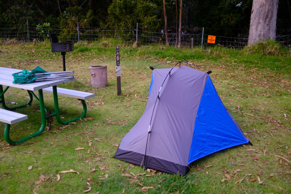
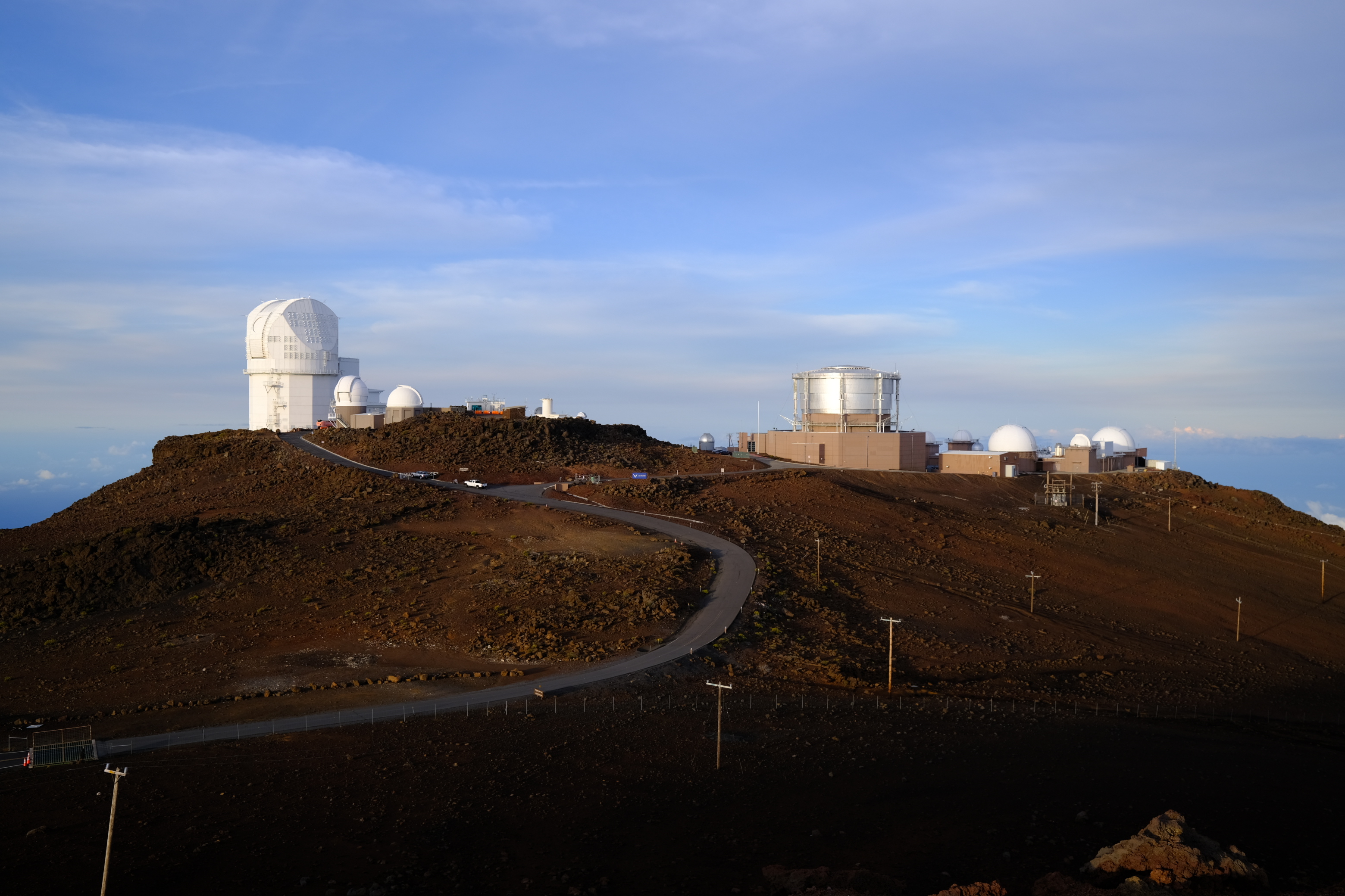
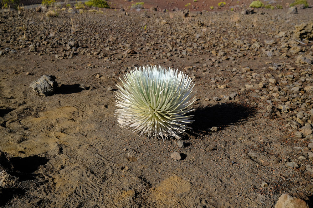
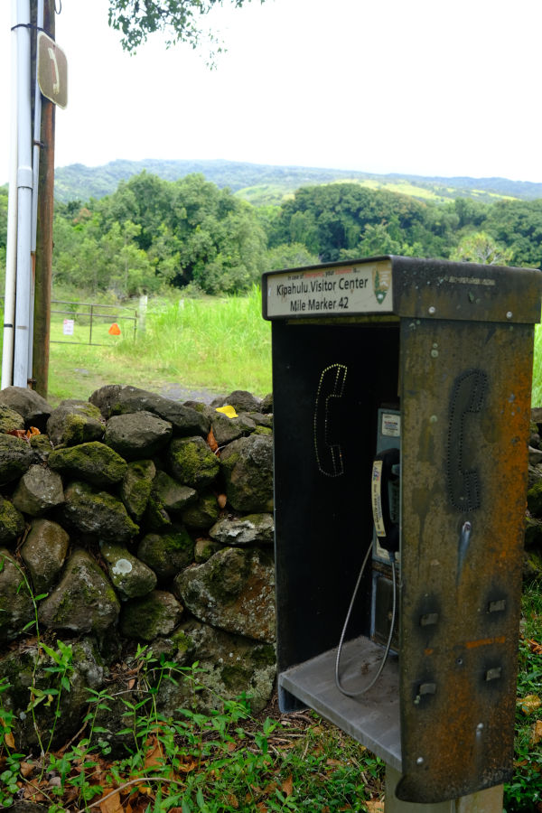
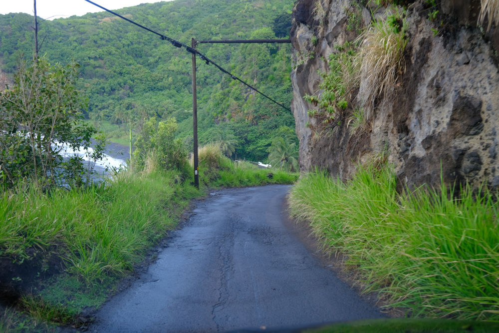
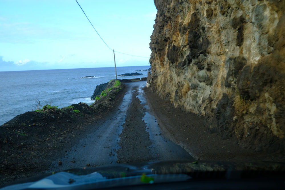
i should probably mention the Water Situation somewhere here. there had been a huge warning online that there was “NO WATER AVAILABLE” at the remote kipahulu campground, so out of an abundance of caution i bought some water at costco. since it is costco, the smallest amount available was a 40-pack of kirkland signature bottled water, and it quickly became clear that it was way more water than i would possibly use in just 3 days. i didn’t even need it in the first place, turns out, because by that online warning what they had really meant is “there is no water available at the campground itself, but if you walk five minutes over to the visitor’s center there’s plenty of drinking water from the water fountains and there’s even flush toilets and sinks.” also, since it rained so much, i could have just opened my mouth and looked up if i ever got in a pickle.

i hate being wasteful, so the question of what to do with all this bottled water started weighing on my mind (i'm always able to manufacture odd sources of anxiety). “too much water” has been bit of a theme of my maui stay. my naïve initial plan was to actually try and get through it all, and as a result, i drank positively disgusting amounts of water the entire time. each night i sat down in my camp chair for hours and continuously sipped costco maitai that had been watered down until it tasted like fruit juice, just to get through more of the water. as a result i ended up having to go to the bathroom approximately every 10 minutes (always fun while camping), although it did make me more or less immune to hangovers. but my heroic efforts had not been nearly enough, and as i headed towards kahului and the airport i was still left with 20 full bottles of water. i considered all sorts of options like donating them or leaving them in the costco parking lot with a sign that said “FREE” however i couldn’t bring myself to follow through with anything and so ended up pulling into the rental car return with all 20 bottles still laying on the backseat. shamefully, i confessed to the rental car return guy “uhhhh... by the way i had some extra bottles of water i don’t know what to do with... they’re in the backseat...”
“oh cool, we’ll give them to the cleaning staff.”

interisland flights to the more obscure islands like molokai depart from the "commuter" terminal, a separate building in the far corner of the airport. there's only one game in town for these interisland flights, mokulele airlines, and their check-in counters span the length of the small terminal. things were pretty casual, they weighed my bag on what looked suspiciously like a bathroom scale, and i didn't even get a boarding pass. the waiting room was right next to the check-in counters, and you didn't have to go through any sort of security to get in or board the planes, not even a half-hearted sweep with a handheld metal detector or anything. it was quite refreshing, felt very much like just a small train station.

when it was time to board, an employee came up and called up individual passengers by name in order of rows, and then we marched out to the plane in that order. the seats were always assigned by the airline so that they can maintain a proper weight balance on the small aircraft, they even ask at check-in how much you weigh. parked just outside the building on the tarmac was the plane: a cessna grand caravan, capacity nine passengers, by far the smallest plane i've ever been on. honestly half the reason i cooked up the whole trip to molokai was because i thought it would be really cool to fly on such a small plane.

next: molokai, "the lonely isle"